INTRODUCTION
Clouds are made of water droplets or ice crystals that are so small and light that they are able to stay in the air. But how does the water and ice that makes up clouds get into the sky? And how are different types of clouds formed?
The water or ice that makes up cloud travels into the sky within air as water vapor, the gas form of water. Water vapor gets into air mainly by evaporation- water from the ocean, lakes and rivers turns into water vapor and travels in the air. When air cools, it’s not able to hold all of the water vapor it once had. Air also can’t hold as much water when air pressure drops. The vapor becomes small water droplets or ice crystals and a cloud is formed.
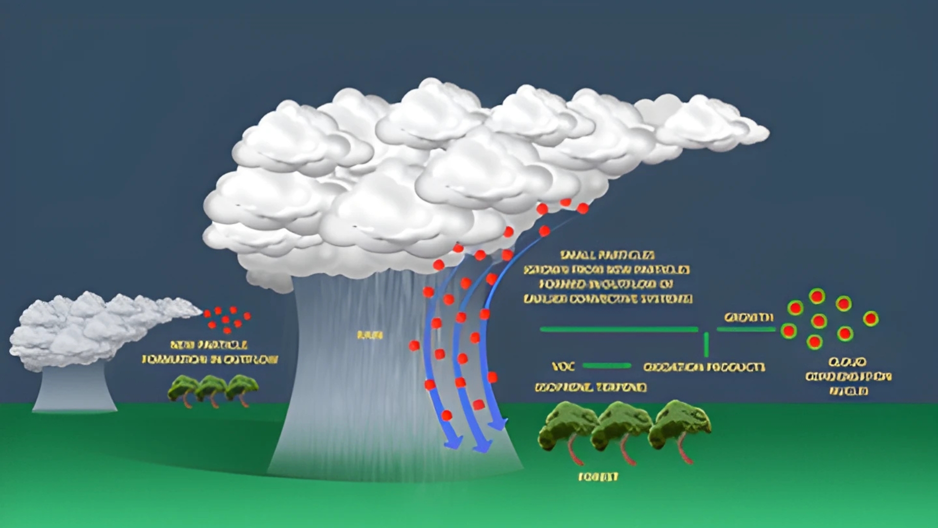
It’s easier for water vapor to condense into water droplets when it has a particle to condense upon. These particles such as dust and pollen are called condensation nuclei. Eventually, enough water vapor condenses upon pieces of dust, pollen or other condensation nuclei to form a cloud.
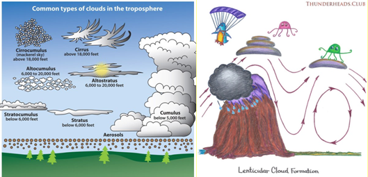
Some clouds form as air warms up near the ground and rises. Heated by sunshine, the ground heats the air just above it. The air starts to rise because when warm, it is lighter and less dense than the air around it. As it rise, its pressure and temperature drop causing water vapor to condense. Eventually, enough moisture will condense out of the air to form a cloud. Several types of clouds form in this way including cumulus, cumulonimbus, mammatus and stratocumulus clouds.

Some clouds, such as lenticular and stratus clouds form when wind blows into the side of a mountain range or other terrain and is formed upward, higher in the atmosphere. The side of the mountains that the wind blows towards is called the windward side. The side of the mountains where the wind blows away is called the leeward side. This can also happen without a dramatic mountain range, just when air travels over land that slopes upward and is forced to rise. The air cools as it rises, and eventually clouds are formed. Other types of clouds, such as cumulus clouds, form above mountains too as air is warmed at the ground and rises.
Air is also forced upward at areas of low pressure. Wind meet at the center of the low pressure system and have nowhere to go but to go up. Air is also forced upward at weather fronts- where two large masses of air collide on the Earth’s surface.
- At a warm front, where a warm air mass slide above a cold air mass, the warm air is pushed upward forming many different types of clouds- from low stratus clouds to midlevel altocumulus and altostratus clouds, to high cirrus, cirrocumulus and cirrostratus clouds. Clouds that produce rain like nimbostratus and cumulonimbus are also common at warm fronts.
- At a cold front, where heavy cold air mass pushes a warm air mass upward, cumulous clouds are common. They often grow into cumulonimbus clouds, which produce thunderstorms. Nimbostratus, stratocumulus and stratus clouds can also form at cold front.


